Rugged Terrain Obstacles
Days or even weeks may pass during a traditional land survey, particularly for large or complicated areas.

MAPPING
VERSION


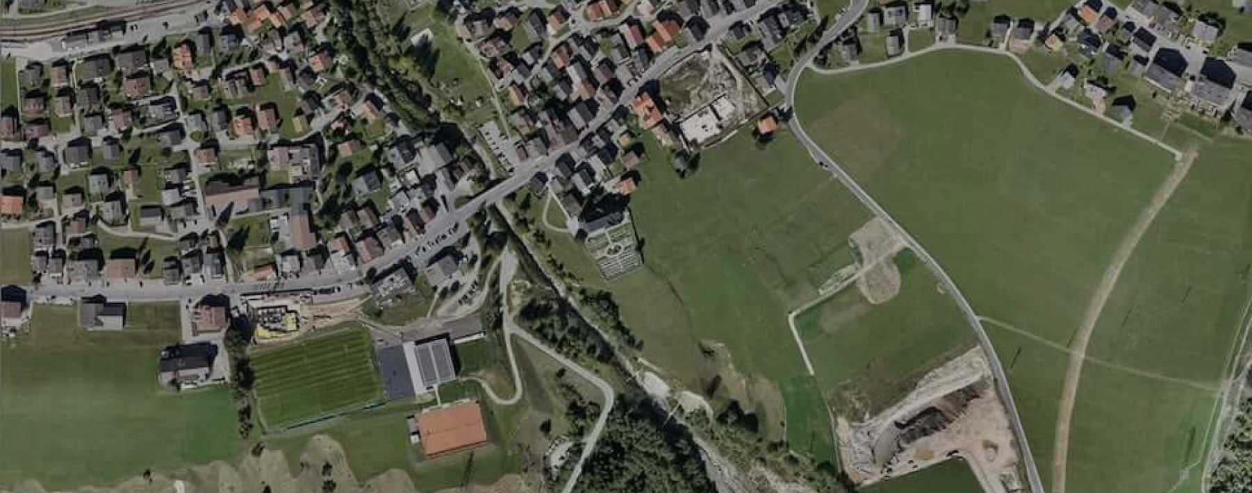
Mapping of land and surveys is essential for many businesses, including environmental monitoring and urban development. However, in terms of accuracy and speed, traditional methods frequently fall short. Let me introduce Hubblefly Technologies, a revolutionary approach to aerial surveying.
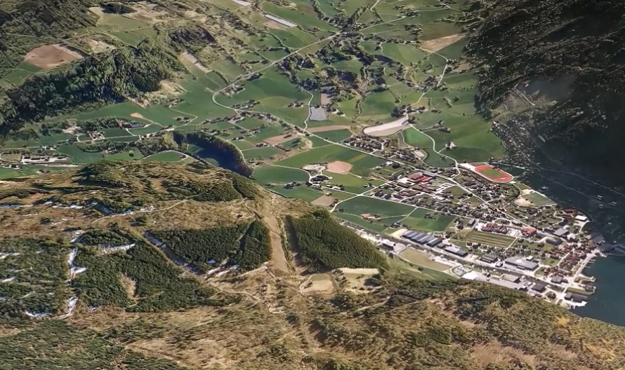
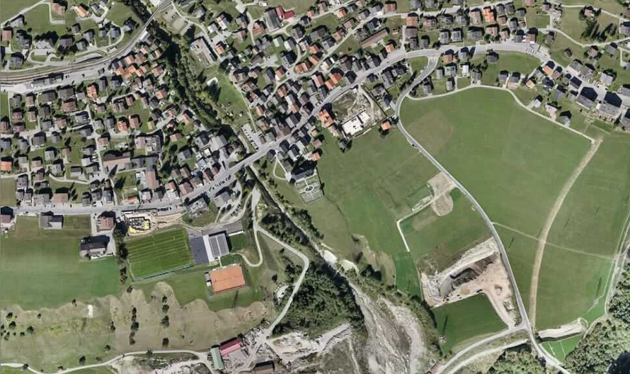
Our state-of-the-art drones use sophisticated sensors like LiDAR, GPS integration, and high-resolution photography to provide accurate, real-time data collecting.The possibilities in mapping are redefined by Hubblefly drones, which can produce detailed 3D models and topographic maps. We give you the opportunity to finish projects with unparalleled accuracy, efficiency, and ease because of their capacity to traverse large terrains swiftly and safely. Greetings from the future of surveying, where every minute is maximized and every detail matters.

Days or even weeks may pass during a traditional land survey, particularly for large or complicated areas.

Accessing hazardous or difficult-to-reach areas, including disaster zones, deep forests, or mountainous terrain, can be difficult for surveyors.

Human error can occur during manual data gathering procedures, which can result in gaps or inconsistent survey results.
Drones from Hubblefly Technologies are the best answer to these problems. Our drones provide quick, accurate, and efficient aerial data collecting, revolutionizing the surveying industry.
Their advanced GPS, LiDAR, and photogrammetry capabilities enable them to provide accurate 3D mapping, volumetric analysis, and topographic insights in a fraction of the time compared to more conventional techniques. In hazardous regions, drones replace the need for human surveyors, saving money and increasing safety. Hubblefly drones can fly over difficult-to-reach locations and take real-time, high-resolution imagery, producing data that is precise, useful, and simple to incorporate into current workflows. Do smarter, not tougher, surveys.
In terms of drone mapping, Hubblefly Technologies is at the forefront. With centimeter-level accuracy provided by sophisticated sensors like LiDAR and RTK GPS, our drones combine precision and adaptability. We guarantee the effectiveness and efficiency of your surveys with everything from bespoke mapping solutions to seamless data integration with GIS and CAD services. Drones from Hubblefly also encourage environmentally sustainable surveys, lessening the harm that conventional methods have to the environment.

An industrial-grade small electric rotorcraft engineered for exceptional precision and reliability. This aerial marvel stands out in its class with DGCA Type Certification, ensuring that it meets the highest safety and performance standards.
Learn More >
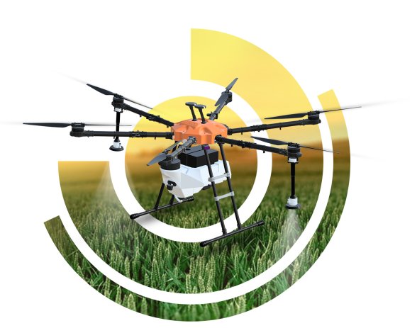
Agristar 2.0 is a DGCA Type-Certified medium class drone designed for agricultural spraying, featuring advanced capabilities such as radar-based collision avoidance, terrain following, and single-click return to home for optimal efficiency in crop management.
Learn More >
The DD-500 is ideal for survey and mapping missions, delivering precise, large-scale geographic data with ease of deployment, seamless mission planning, and advanced fail-safe features, all operable by a single individual.
Learn More >Leverage our technology to boost your construction and real estate operations.

Describe your application in detail. What will you be using drones for?