Inaccurate Forest Data Collection
The quality of assessments of the health of forests and resource management is sometimes compromised by the use of antiquated or imprecise data resulting from traditional forest mapping methodologies.

MAPPING
VERSION


Drones from Hubblefly Technologies are transforming the mapping of forests by offering precise data collecting and high-resolution aerial images. Our drones help with sustainable forest management and conservation initiatives by providing in-depth data into land usage, tree density, and forest health. Hubblefly's state-of-the-art technology guarantees precise, up-to-date data to facilitate efficient decision-making in the forestry industry.

The quality of assessments of the health of forests and resource management is sometimes compromised by the use of antiquated or imprecise data resulting from traditional forest mapping methodologies.

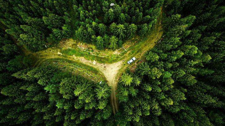
On-the-ground surveys are difficult and time-consuming since many woods are situated in isolated or difficult-to-reach locations.

Manual forest mapping necessitates a large amount of fieldwork and data processing, which takes time and labor.
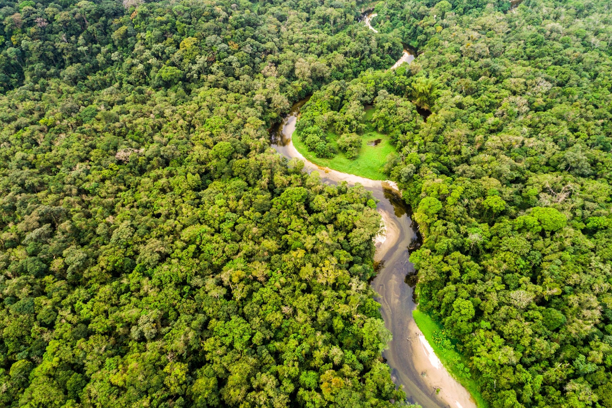
Drones called Hubblefly offer a cutting-edge approach to these problems. With its high-resolution cameras and sensors, they can swiftly and effectively gather extensive aerial data. Large-scale coverage, tough terrain accessibility, and accurate forest mapping data delivered by our drones allow for prompt and well-informed decisions about forest management and conservation.
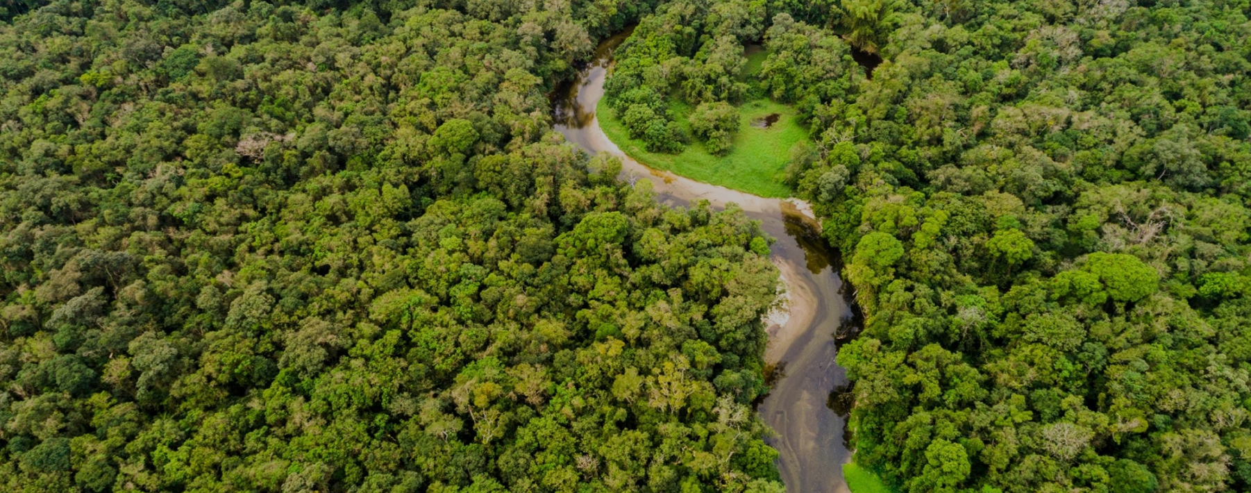
Modern drones from Hubblefly Technologies stand out because they perform better when mapping forests. Our drones have great precision, long flying periods, and sophisticated data processing. Hubblefly guarantees that your forest management activities are efficient and productive with its user-friendly interfaces and dependable support, offering insightful data with each flight.

An industrial-grade small electric rotorcraft engineered for exceptional precision and reliability. This aerial marvel stands out in its class with DGCA Type Certification, ensuring that it meets the highest safety and performance standards.
Learn More >
Agristar 2.0 is a DGCA Type-Certified medium class drone designed for agricultural spraying, featuring advanced capabilities such as radar-based collision avoidance, terrain following, and single-click return to home for optimal efficiency in crop management.
Learn More >
The DD-500 is ideal for survey and mapping missions, delivering precise, large-scale geographic data with ease of deployment, seamless mission planning, and advanced fail-safe features, all operable by a single individual.
Learn More >Leverage our technology to boost your construction and real estate operations.

Describe your application in detail. What will you be using drones for?