Lengthy Survey Times
Time-consuming manual surveys are a part of traditional infrastructure planning, which adds to project delays.

MAPPING
VERSION


Planning infrastructure involves accurate information and fast insights. Drones from Hubblefly Technologies simplify the planning process for building and urban development by providing precise topographic maps and high-resolution aerial imagery. Our drones give us a bird's-eye perspective that improves project efficiency and decision-making.


Time-consuming manual surveys are a part of traditional infrastructure planning, which adds to project delays.

Due of manpower and equipment costs, manual surveys and inspections for infrastructure development are frequently expensive.

Planning infrastructure has many difficulties when it comes to surveying dangerous or difficult-to-reach places.
Drones from Hubblefly Technologies provide high-definition aerial data in real-time, revolutionizing infrastructure design. By enabling quick site surveys, 3D modeling, and thorough mapping, they help projects move more quickly and efficiently by removing the drawbacks of conventional techniques.

Drones from Hubblefly Technologies are designed with accuracy and dependability in mind. They guarantee better data accuracy and coverage because they are outfitted with cutting-edge sensors and high-resolution cameras. We differentiate ourselves from the competition by providing improved efficiency, cost-effectiveness, and comprehensive insights through our drones' seamless integration into planning processes.

An industrial-grade small electric rotorcraft engineered for exceptional precision and reliability. This aerial marvel stands out in its class with DGCA Type Certification, ensuring that it meets the highest safety and performance standards.
Learn More >
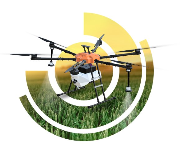
Agristar 2.0 is a DGCA Type-Certified medium class drone designed for agricultural spraying, featuring advanced capabilities such as radar-based collision avoidance, terrain following, and single-click return to home for optimal efficiency in crop management.
Learn More >
The DD-500 is ideal for survey and mapping missions, delivering precise, large-scale geographic data with ease of deployment, seamless mission planning, and advanced fail-safe features, all operable by a single individual.
Learn More >Leverage our technology to boost your construction and real estate operations.

Describe your application in detail. What will you be using drones for?